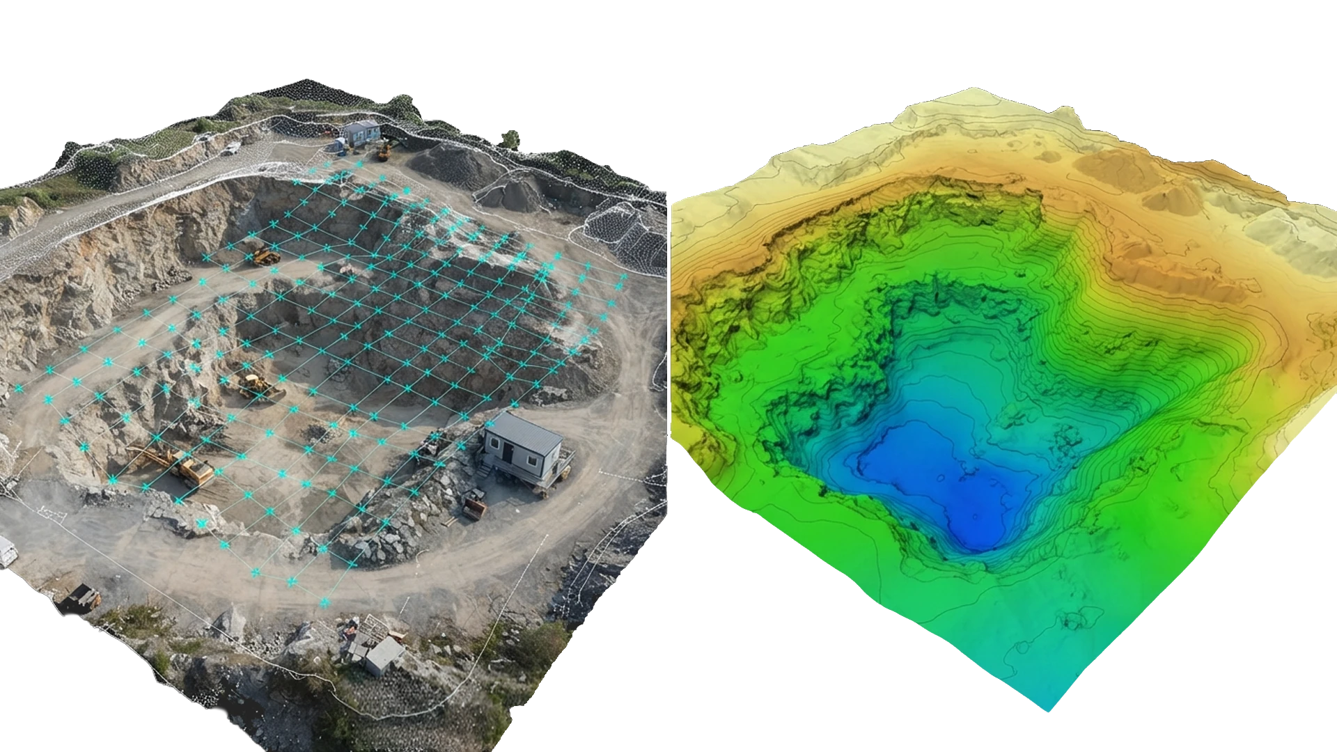
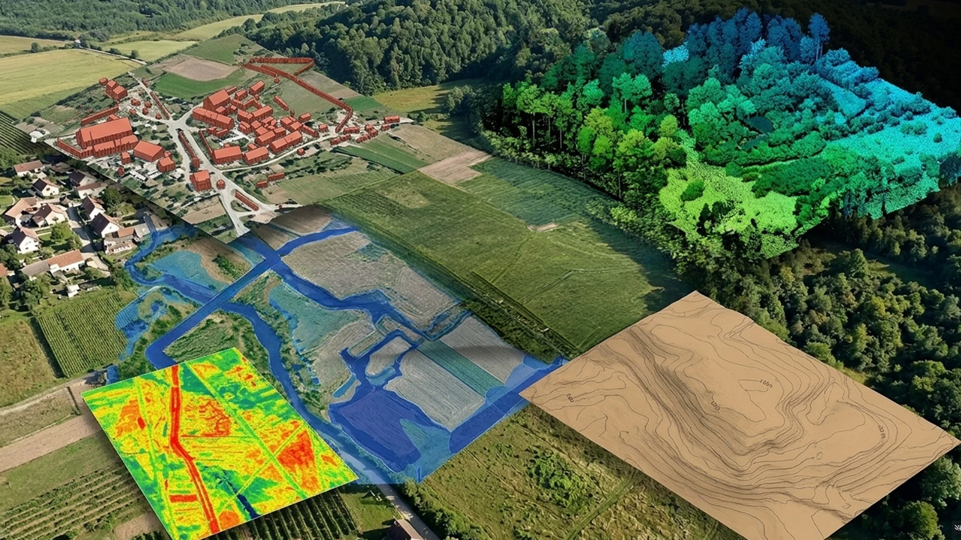
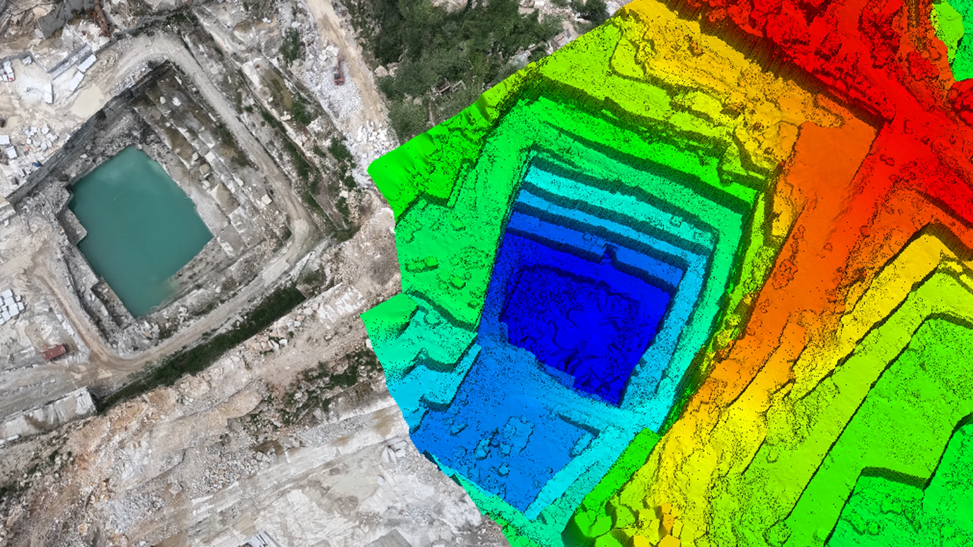
UAV photogrammetry and LiDAR-grade spatial processing in a single environment. Drone imagery is triangulated, reconstructed into a dense point cloud, orthomosaic and DSM, then classified and taken straight into the same terrain, contour and volume engine used for LiDAR projects — one project, one interface, no export between separate tools.
The first phase turns raw drone imagery into georeferenced, deliverable-ready geospatial data using the same aerial-triangulation and multi-view-stereo pipeline found in dedicated photogrammetry software, built directly into AutoTerra Pro Aero.
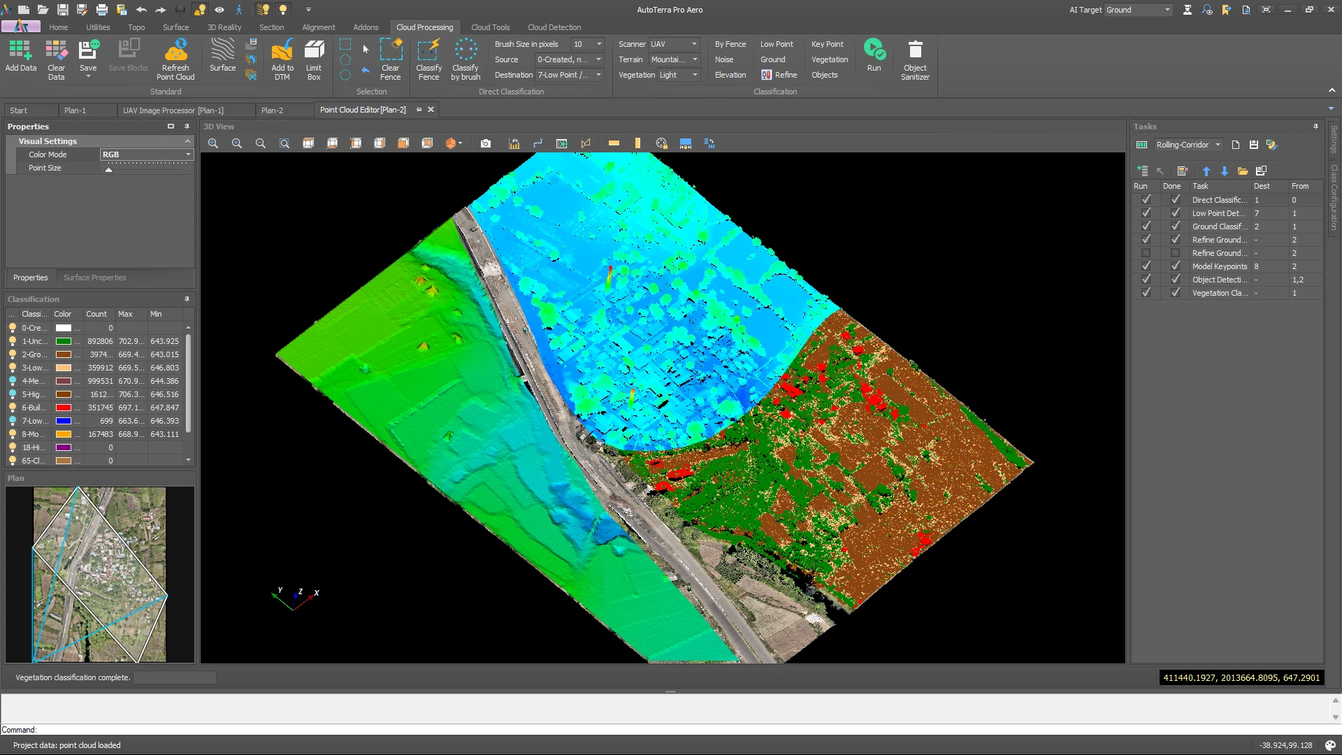
The dense image point cloud is never exported anywhere — it loads straight into AutoTerra's LiDAR-grade classification engine and is processed with the same 3D brush, fence and automated routines used on airborne and mobile LiDAR data.
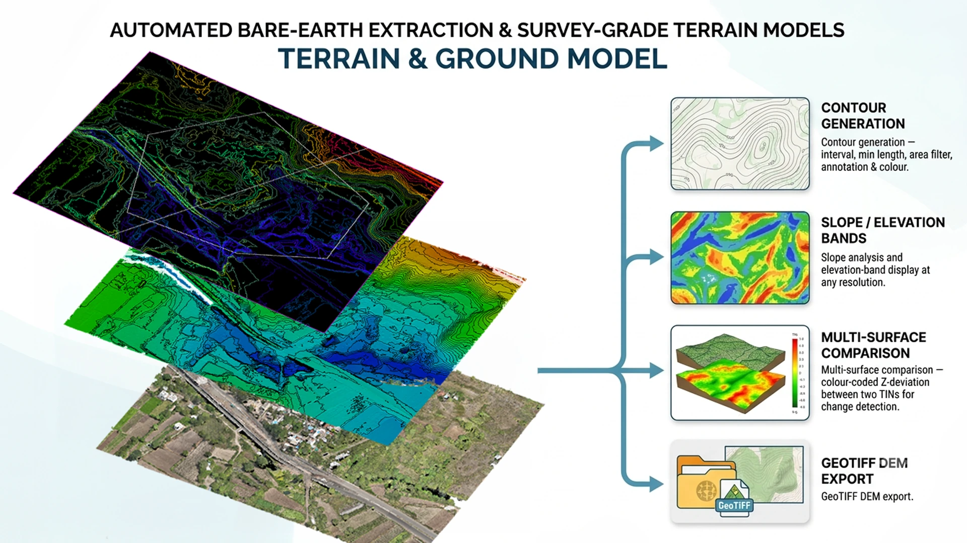
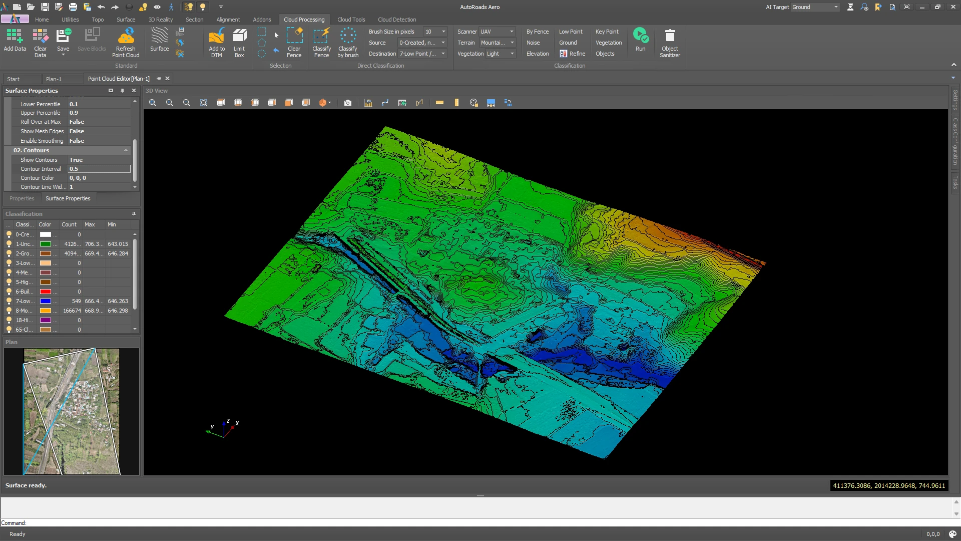
Once the ground surface is classified, it becomes a DTM like any other AutoTerra terrain model — feeding straight into the same surface, contour and slope tools used across the Pro Spatial engine. Nothing is re-imported.
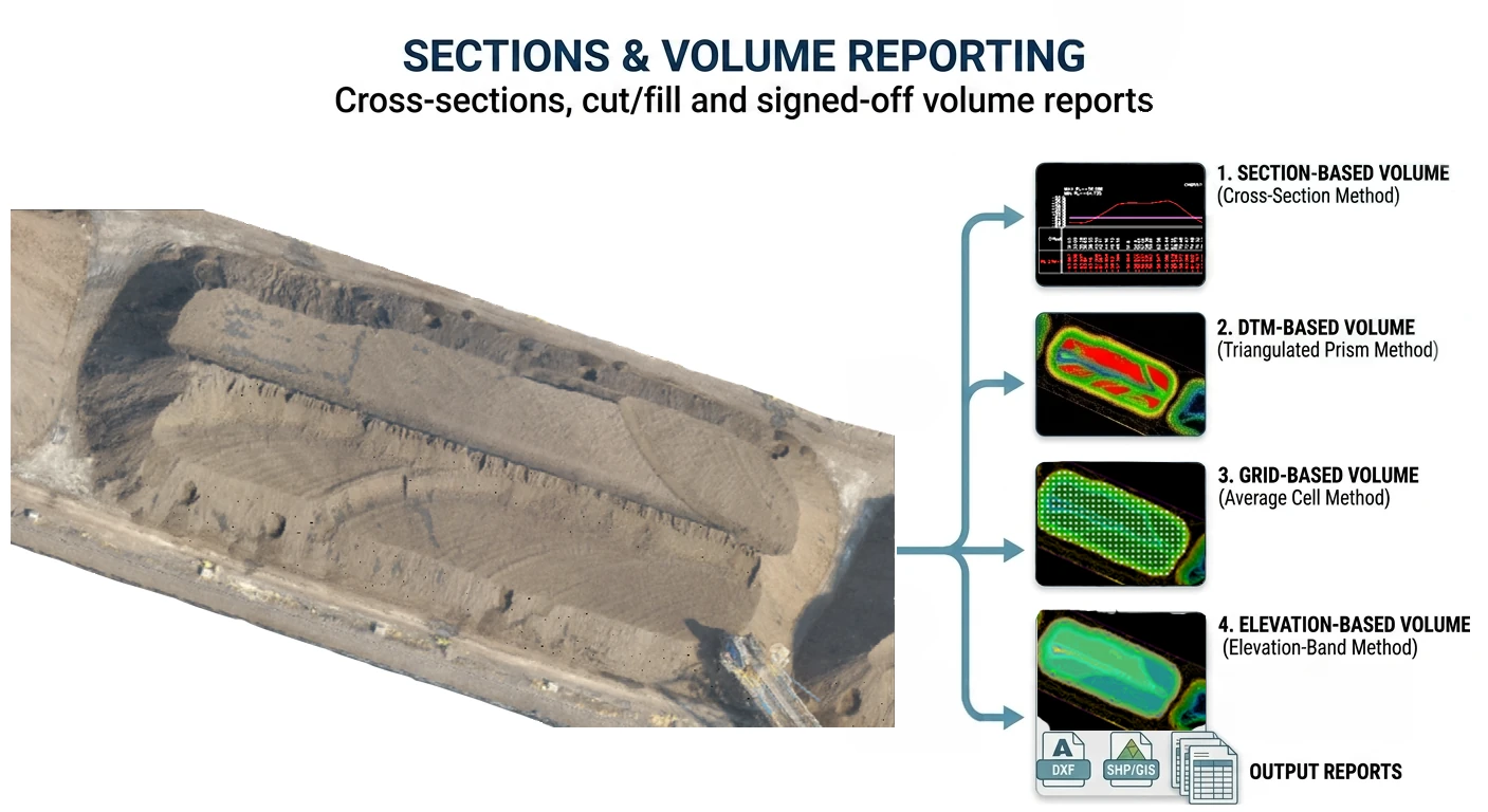
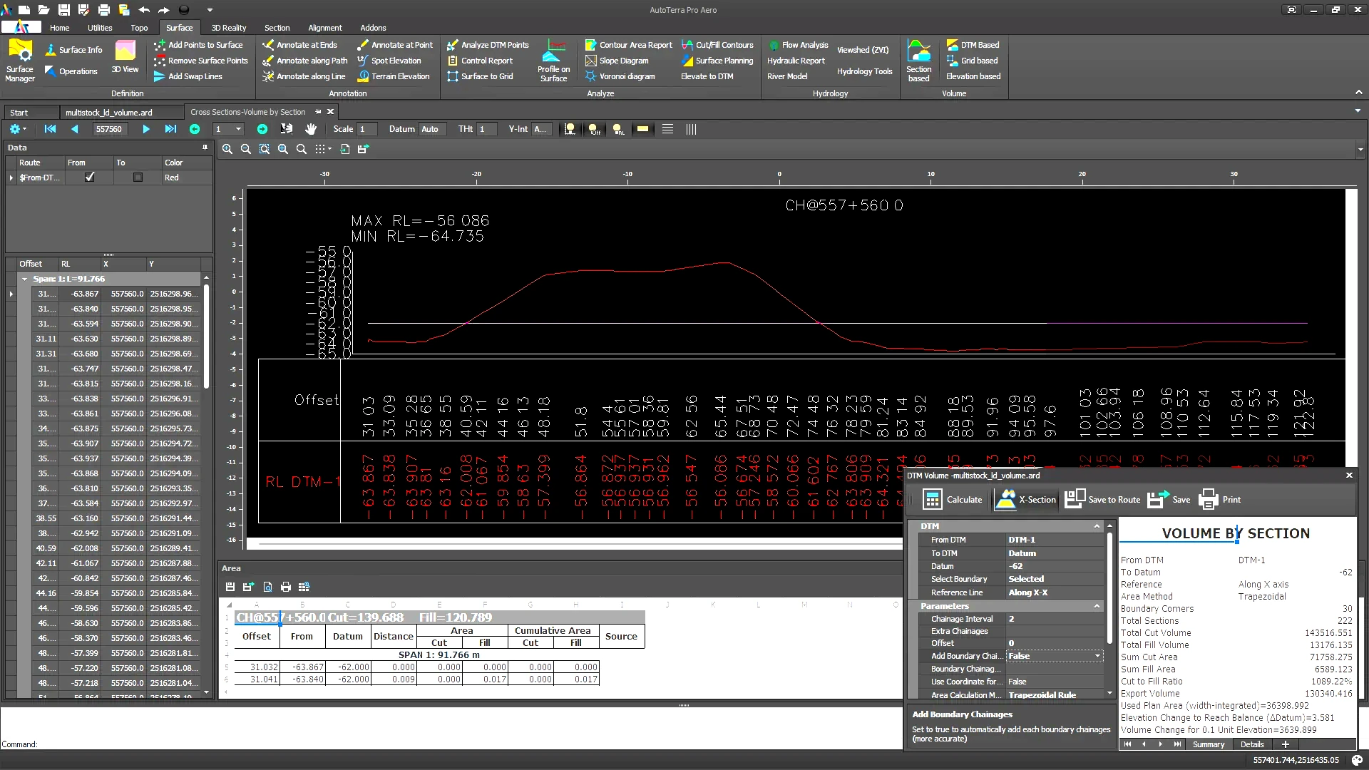
Compute volumes by whichever method fits the deliverable, and generate cut/fill visualisation, chainage tables and section reports directly from the same ground model — no export to a separate reporting tool.
Every module shares a unified workspace — drone imagery, point cloud, terrain and volume reports, all without switching applications.
Full capabilities of AutoTerra Pro Aero. For a cross-edition comparison, see the Products & Comparison page. Products & Comparison
| Category | Specification |
|---|---|
| Image import | Standard UAV/drone camera formats; organised by flight and mission; onboard GNSS/IMU carried through to triangulation |
| Aerial triangulation | Structure-from-motion with automatic tie-point detection, self-calibrating camera model, and GCP georeferencing for survey-grade accuracy |
| Reconstruction outputs | Dense multi-view-stereo point cloud, orthomosaic/orthophoto, DSM/DEM, and textured 3D mesh |
| Classification engine | Full LiDAR-grade brush, fence and automated classification; real-time 3D feedback; section-view classification |
| Ground extraction | Progressive-TIN bare-earth routine with AI/ML-tuned noise and vegetation removal |
| Terrain outputs | TIN surface, contours, slope/elevation bands, multi-surface Z-deviation comparison, GeoTIFF DEM export |
| Section & volume tools | Cross-sections at any chainage with design overlay; four volume calculation methods; formatted cut/fill and chainage reports |
| Scripting / API | Processing parameters are fully configurable and auditable at every stage of the pipeline |
| Licensing & data | On-premise processing — data never leaves your infrastructure; licensed seat, cost doesn't scale with area; runs fully offline once installed |
| Image Count | Indicative Processing Time (Capture → DSM/Ortho) |
|---|---|
| Up to 200 images | ~30–45 min on a 12 GB GPU · ~2–4 hrs on CPU only |
| 200–500 images | ~45 min–1.5 hrs on a 12 GB GPU · ~4–8 hrs on CPU only |
| 500–1,000 images | ~1.5–3 hrs on a 12 GB GPU · ~8–16 hrs on CPU only |
| 1,000–5,000 images | ~4–10 hrs on a 12 GB GPU · ~1–3 days on CPU only |
Figures are rough estimates for typical consumer/nadir drone imagery at standard overlap; actual runtime varies with image resolution, overlap, CPU core count/generation, and storage speed. A dedicated NVIDIA (CUDA) GPU is recommended.
All editions include the 3D viewer and basic annotation. Upgrade at any time — your project files and settings transfer seamlessly.
Full survey, DTM and CAD toolkit — no photogrammetry
Drone photogrammetry + LiDAR-grade terrain, in one project
Everything in Pro Aero, plus LiDAR at scale & corridors
Our solution engineers will walk you through the complete drone-to-deliverable workflow on your own project data.