| Point cloud formats |
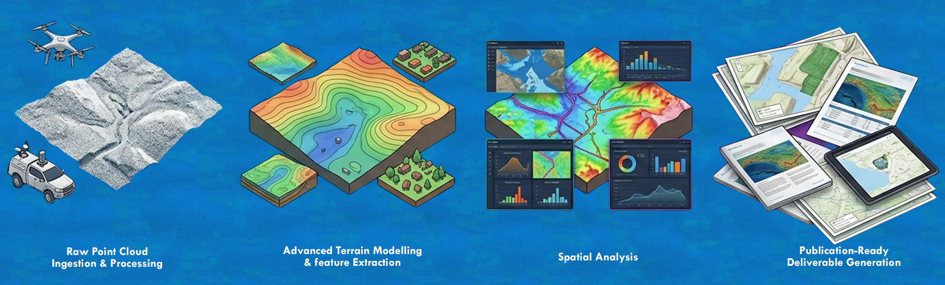
LAS / LAZ 1.0–1.4, E57, PLY, XYZ / PTS / CSV; classified LAS/LAZ export to ASPRS standard |
| Dataset scale |
Unlimited project size on Pro Spatial; tile-based handling for large-area and corridor datasets, with GPU-accelerated 3D display |
| Classification engine |
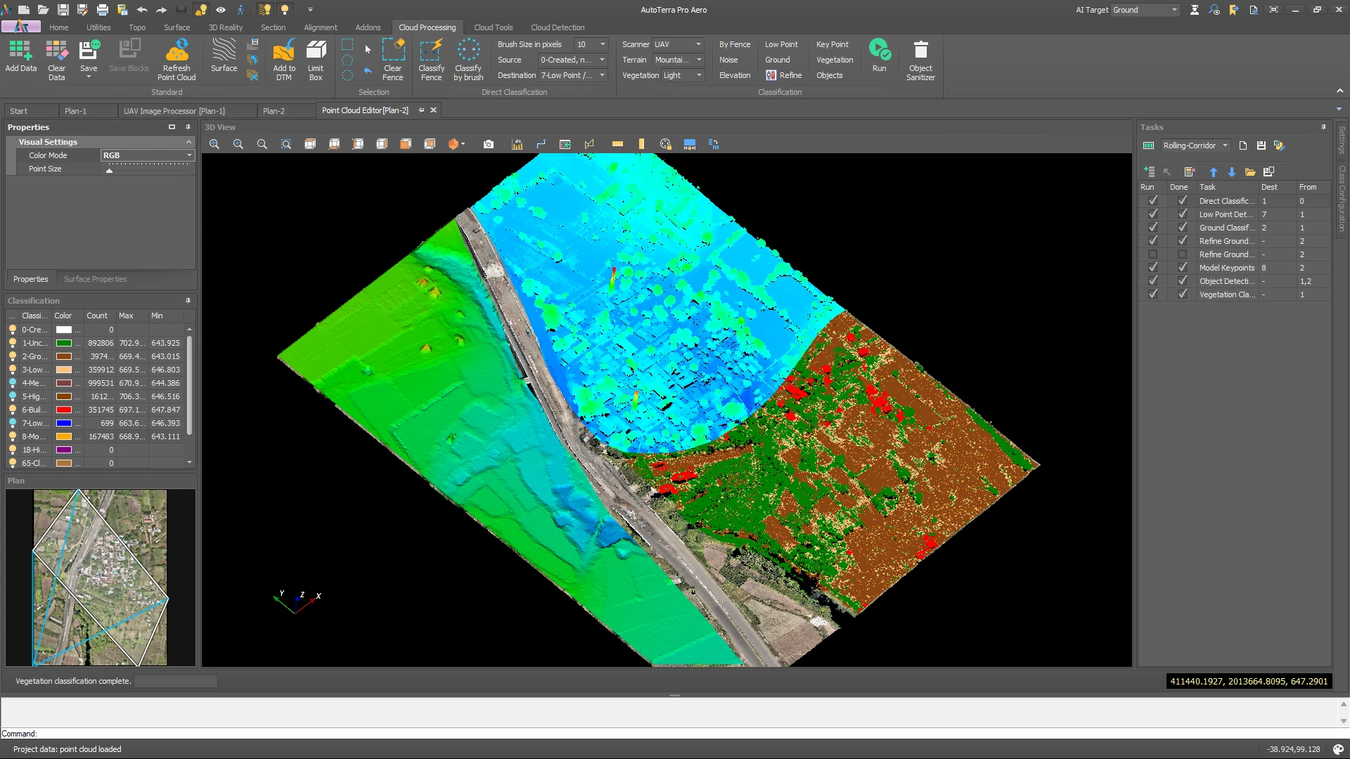
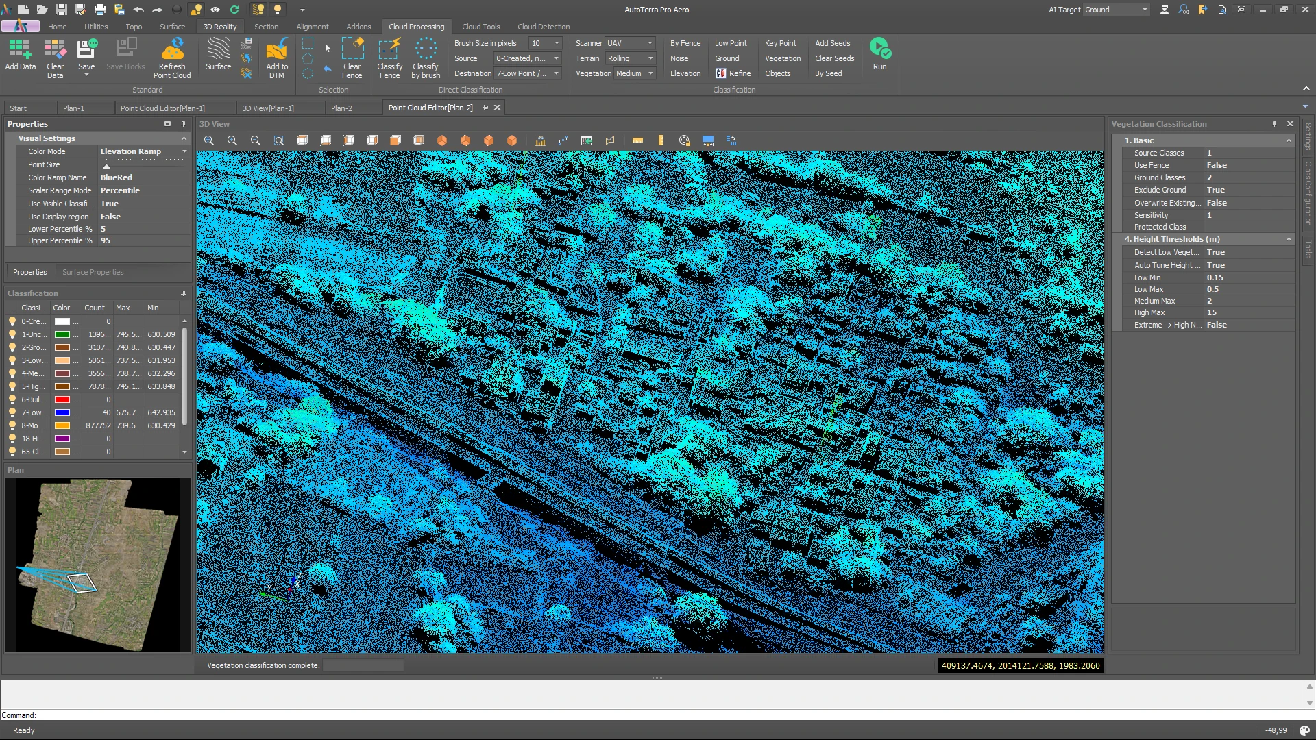
Machine-learning classification with trainable custom models; tuned geometric ground routines; ASPRS class codes plus user-defined classes; batch task automation across a project |
| AI & ML Intelligence |
Automatic ML classification, trainable custom models, object detection (roadside assets, buildings, poles, vegetation) and forestry stem inventory — included with Pro Spatial on 1-year and longer terms; not available on 3-month or 6-month terms |
| Terrain outputs |
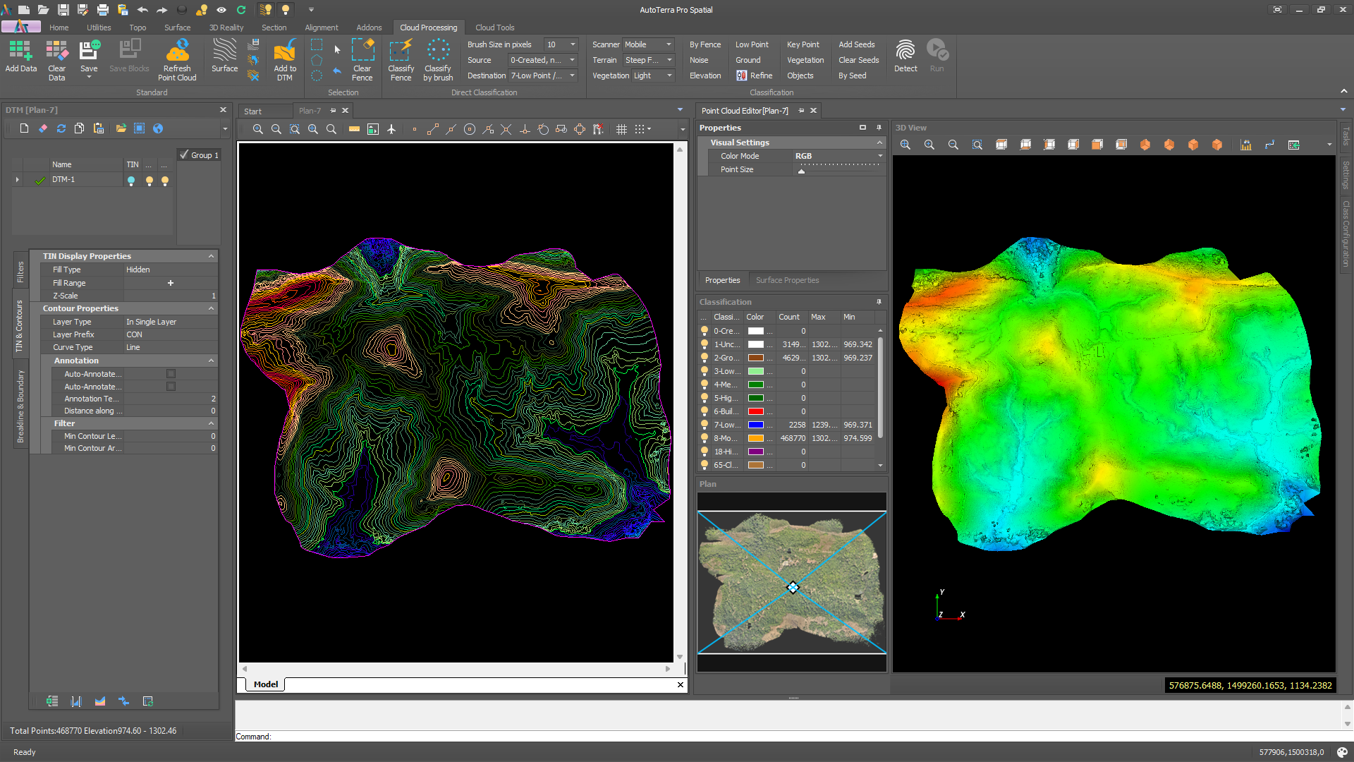
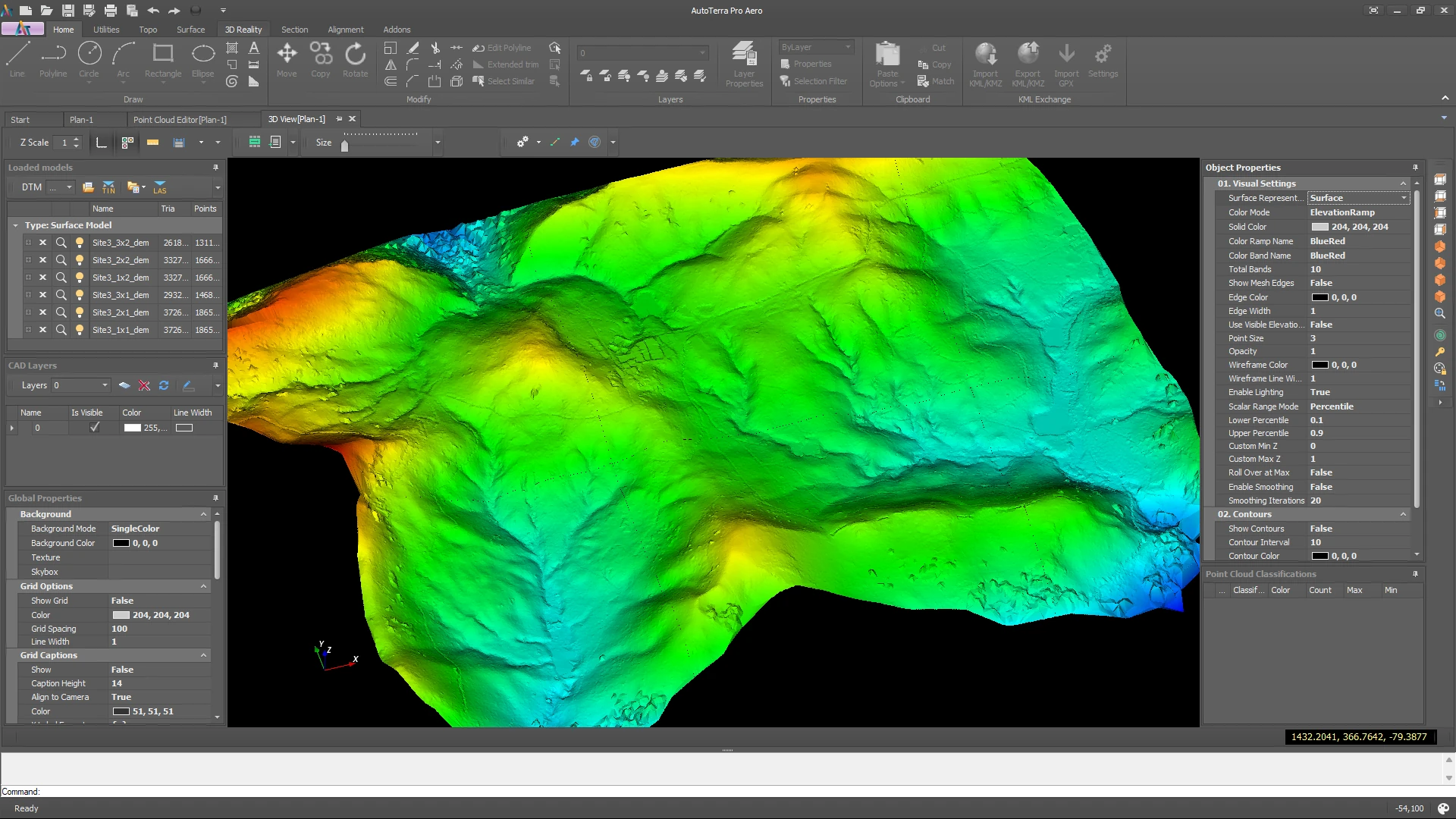
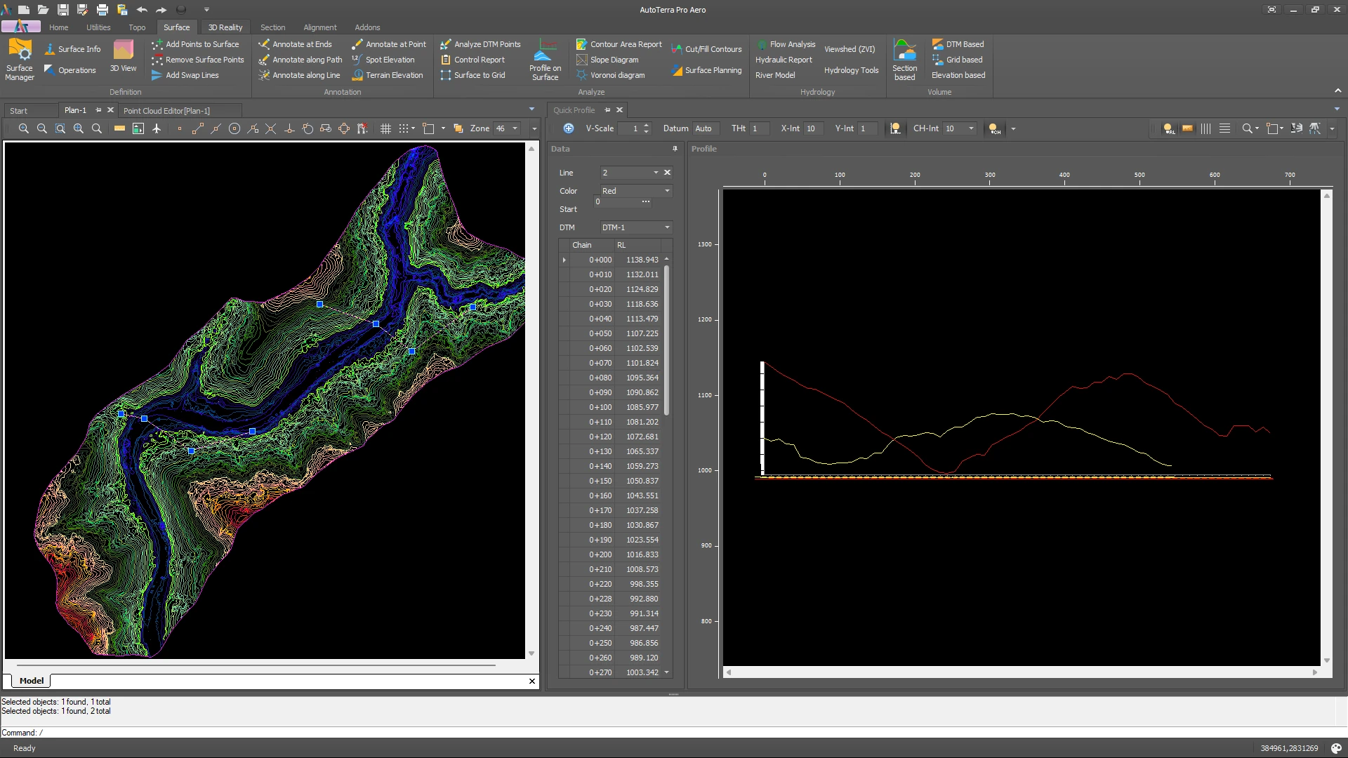
DTM, DSM, nDHM, canopy height model, slope, aspect, hillshade and elevation banding at user-defined resolution; TIN and grid modes |
| Surface modelling & interpolation |
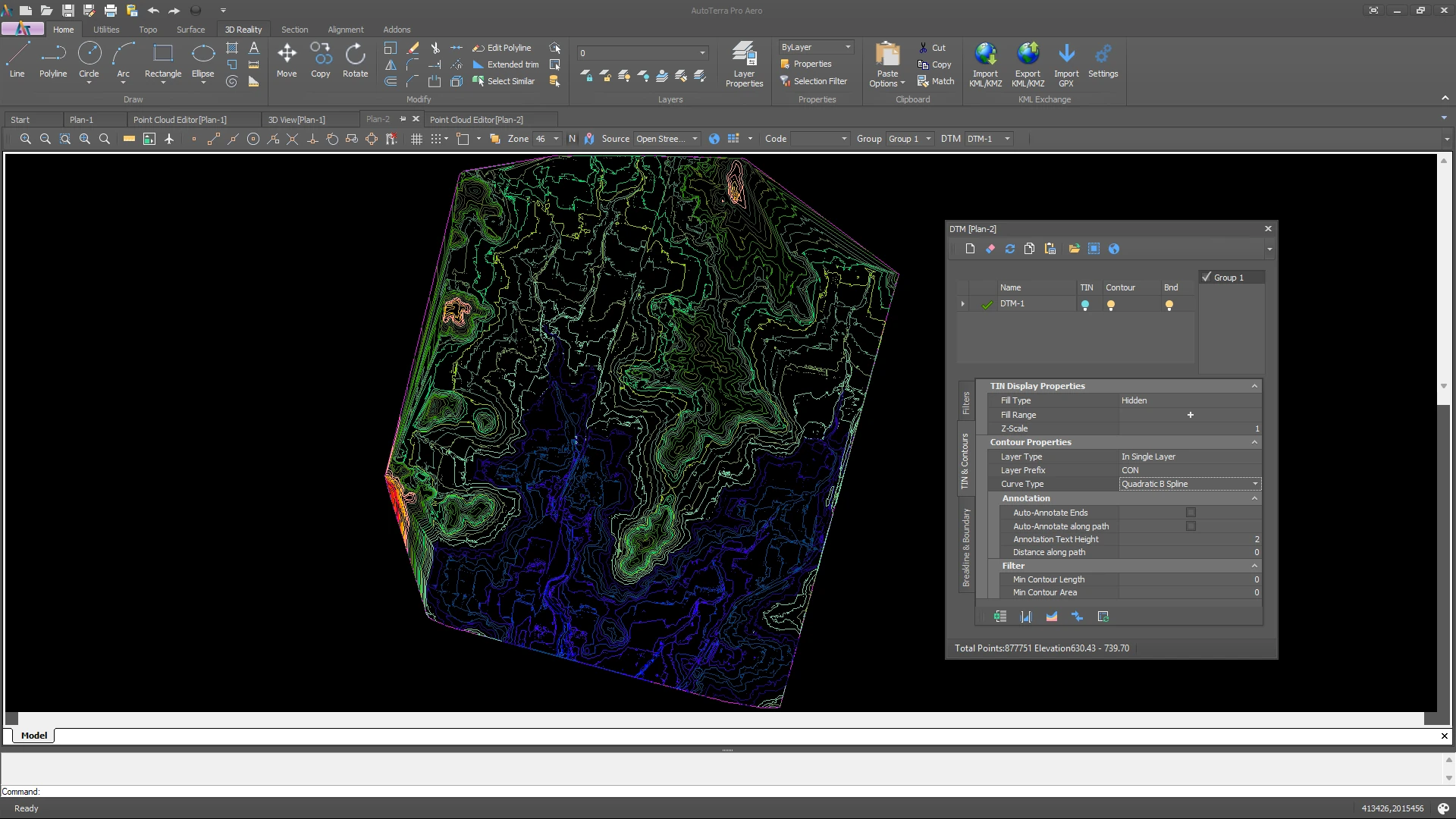
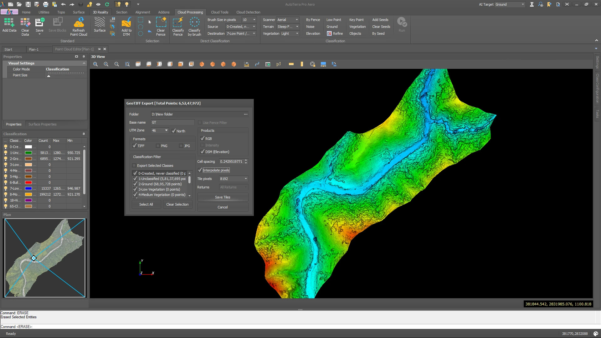
Constrained Delaunay TIN with break-line enforcement; boundary-controlled surfaces; grid / DEM conversion and multi-source DEM comparison. Raster void fill on DSM/DEM export: none (NoData), Linear (Delaunay triangulation) or IDW with configurable power and search radius, under a maximum interpolation distance. |
| Vector / CAD |
DXF and DWG read and write with full layer, linetype and block control; GIS vector exchange — Shapefile, GeoJSON, GeoPackage, File Geodatabase (.gdb) with table pre-selection and EPSG detection, FlatGeobuf, MapInfo TAB / MIF, GeoParquet, GML, KML / KMZ |
| Coordinate systems |
Projected and geographic CRS with custom CRS definition; vertical datum transformation including EGM2008, EGM96 and national geoids |
| Raster export |
GeoTIFF, ECW, ASCII / ESRI Grid, ERDAS IMG, BIL, PNG and JPEG — all with embedded projection |
| Survey tools |
Control point import (CSV / TXT), resection, traverse adjustment, COGO (intersection, bearing-distance) and stake-out |
| Corridor, linear features & road assets |
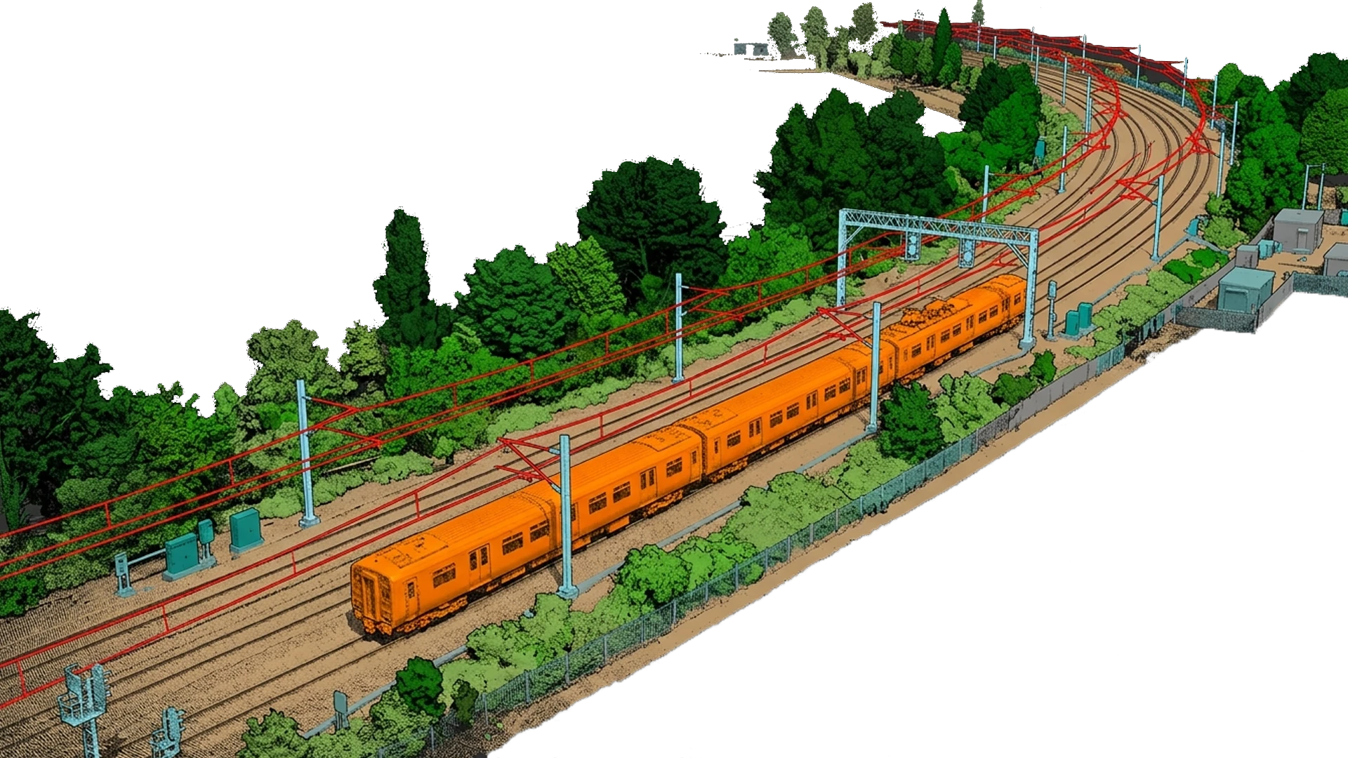
Road, kerb and centreline extraction; ML roadside-asset detection from a template library (bollard, delineator, fence, guardrail and sign posts, lamp, utility and traffic-signal poles, gantry legs, round and rectangular pillars, kerb marker posts) with dimensions, confidence and station/offset attributes, exportable as a GIS point layer or CAD 3D symbols; cross-section keying; cross-sections and long sections at any interval; corridor cut/fill volumes. Geometric design — alignment, superelevation, typical cross-sections and structures — is provided by AutoRoads. |
| Add-on modules |
À-la-carte modules licensed on a Pro Spatial host: Tunnel cross-sections & QC, and Powerline clearance analysis |
| Licensing |
Node-locked soft licence or USB hardware key (dongle) that runs fully offline; online activation for soft licences, with machine transfer supported. Terms from 3 months to 5 years. |
| Updates |
All feature releases and priority support are included for the licence term — no separate charge for major version upgrades |